I mentioned this 188km biking route/tourist trail in my last blog, but since then we did a sheep-dogging adventure along 30km of it. It was a hot day for a run/bike ride; it was high 20s Celsius/low 80s Fahrenheit, plus the section of trail Cameron chose had some elevation, which made for a sweaty ride. The full route bypasses 25 castles and watchtowers in various stages of ruin through south-western Poland. Although the trail officially starts with Wawel Castle (#19 on the map below, and viewable from our apartment), Cameron decided on a route that started outside the town of Bydlin, about an hour-long drive from Krakow.

We hadn't realized it before, but an informational placard at the parking lot informed us that we were also along the Trail of the Eastern Front during the First World War. Apparently the cemetery we parked next to was the Bydlin Legion Memorial Cemetery, which is the resting place for dozens of soldiers who died during the Battle of Krzywopłopty. We only looked over the cemetery wall as we passed by so that we could move onto our main highlights: castles.
Within 10 minutes we came upon our first castle- Zamek Bydlin (number 14 on the map, above). We elected to take the short 0.1km detour to climb up to the relatively small stone structure. Along the path we learned that the castle was likely built in the 14th century, but more interestingly it was used as a shelter during WWI and many of the dugout shelters were still visible. The castle itself was roofless, but still had the primary structure of four walls, some of which stood tall enough to still house window holes. We didn't know it at the time, but this was the most accessible castle that we came across in our three hour adventure.


Map of the full Trail from https://www.orlegniazda.pl/en-US
We hadn't realized it before, but an informational placard at the parking lot informed us that we were also along the Trail of the Eastern Front during the First World War. Apparently the cemetery we parked next to was the Bydlin Legion Memorial Cemetery, which is the resting place for dozens of soldiers who died during the Battle of Krzywopłopty. We only looked over the cemetery wall as we passed by so that we could move onto our main highlights: castles.
Within 10 minutes we came upon our first castle- Zamek Bydlin (number 14 on the map, above). We elected to take the short 0.1km detour to climb up to the relatively small stone structure. Along the path we learned that the castle was likely built in the 14th century, but more interestingly it was used as a shelter during WWI and many of the dugout shelters were still visible. The castle itself was roofless, but still had the primary structure of four walls, some of which stood tall enough to still house window holes. We didn't know it at the time, but this was the most accessible castle that we came across in our three hour adventure.
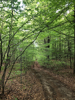
Forested path from the main road up to the castle.

Behind me you can see one of the trenches that was dug our for use during WWI battles.

The castle wasn't big, probably not much more floor space than our apartment.

Cameron climbing up the castle walls.

Zamek Bydlin in it's full glory.
It was a long way until we reached the next castle. We were on road most of the time, but the roads we were on weren't always in tip-top condition. There was one gravelly hill I was zooming down and silently willing that I wouldn't get hit in the face by a rouge pebble, or worse, get knocked off my bike by an unforeseen pothole. Eventually we found ourselves on a dirt trail with some other bikers, hikers, and horseback riders. We took a short water, snack, and hiking break to hike up the backside of a tall rock structure that was being ascended by multiple rock climbers on the cliff-edge. Not long thereafter, we were back on paved road and were able to see a looming stone tower atop a tree covered hill.
Of course it makes sense for these castles and towers to all be on top of hills, but it does make it tiring to see each of them by bike. I suppose their elevation is what gives the trail it's name. As we got closer to the tower and it's surrounding patch of forest, we saw less and less of this particular eagle's nest (#13 on the map). We knew we had arrived when we turned into an over-crowded parking lot and saw a large family passing out tickets to climb the tower to their kids. We elected to continue on our way, so we didn't learn much about this castle, but if you want to you can by clicking here.

Bypassing the Bydlin Legion Memorial Cemetery on our way from castle #1.

Cruising along some country roads.

Eventually we made it into a forested dirt path.

There were lots of rock climbers on the other side of these rocks.
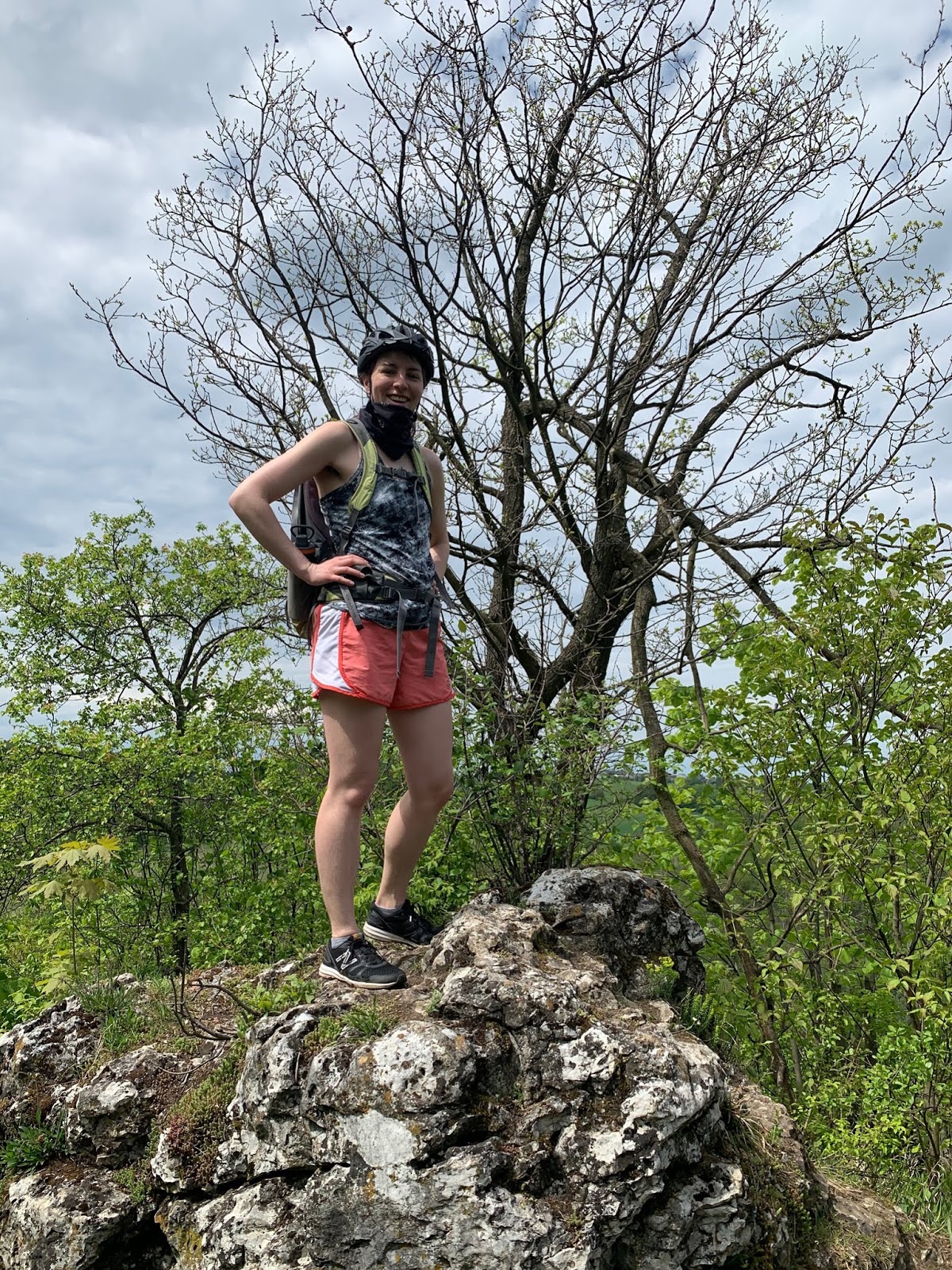
Hanging out at an unofficial lookout.

Lots of folks were out enjoying the nice Sunday weather.

Our first glimpses of the castle- you can just barely see the tower sticking up at the center of the hill.

We didn't see the tower again until we were leaving; again you can just see the stone structure peeping up over the trees.
At this point, we began to go off-road so that Cameron could turn our route into a loop and get his milage right. Although Cameron thought we were continuing on to a third castle, he also did not have the castle trail marked on his map so he wasn't completely sure. Looking back at our map and the official trail map, I can definitively say that we did not see any more of the official trail castles. But that didn't stop us from feeling like we were heading for a third one!
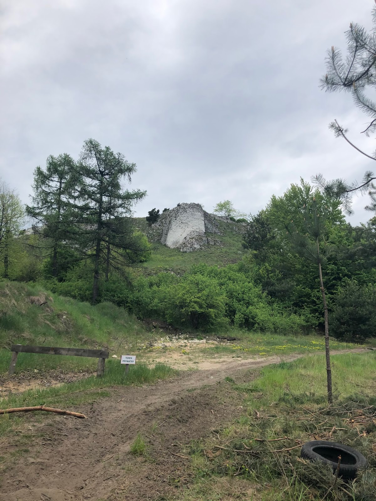
We were mostly sheep dogging through farm land and countryside, but in one of the small towns we came upon a very large fenced-off boulder. Cameron was certain it was part of some castle ruins (it was at least on top of a steep hill), but it seems like just a big boulder to me. I was willing to let him believe it was a castle in the moment, but now knowing we were off-route, I feel justified in my skepticism.
At this point we were tired. We had been climbing up and down hills for close to two hours and I was starting to day-dream about the homemade chocolate hazelnut butter toffee we had waiting in the car. I also had the optimism of still coming to castle number three, which I had been promised before we set out for this workout. Well, we still had our most exhausting part of the day to come. Cameron's route finding led us through some nice forested walking trails but these trails proved to be especially tiring for runners and bikers because they were fully covered in deep sand. It was very slow going and I had to walk my bike through long stretches because my skinny tires were not cut-out for this sort of off-road experience.
Finally we made it out of the sandy forest back onto a gravelly road which soon took us to "castle" number three/four. Again, I was skeptical, but I parked my bike and we climbed the rocky hill. At least there was another couple at the top and a constructed cross which made me think that at some point there was something important here. We might have stayed longer to watch the rock climbers down below us, but we were getting hungry and were starting to run low on water. We were ready to be done, and now we know to stick to the true route for the next time we go castle-hunting.

Safety first- keeping my mask on.

Cameron's "trails" sometimes had me going through some not-so-bike-friendly terrain.

The big boulder that Cameron thought was castle #3.

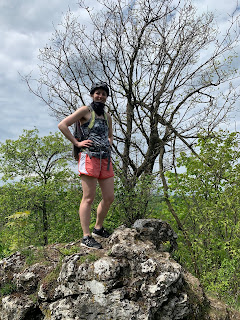
Climbing up to our last "castle" of the day.

Looking down from that "castle" to some more rock climbers.

The cross in the background is what make me thing we might be somewhere somewhat official.
Plus, from the road some of the rocks do look somewhat tower-like.
Our loop that Cameron planned. You can click on the button to see more details and to check out Cameron's other (crazy ambitious) runs.
No comments:
Post a Comment